Highway 401 is an important road between Montreal and Toronto. This page list a number of interesting stops along the 401.
This page was started in Aug. 2022 but it is a living document and more information will be added in future.
Lancaster South: The Wharf
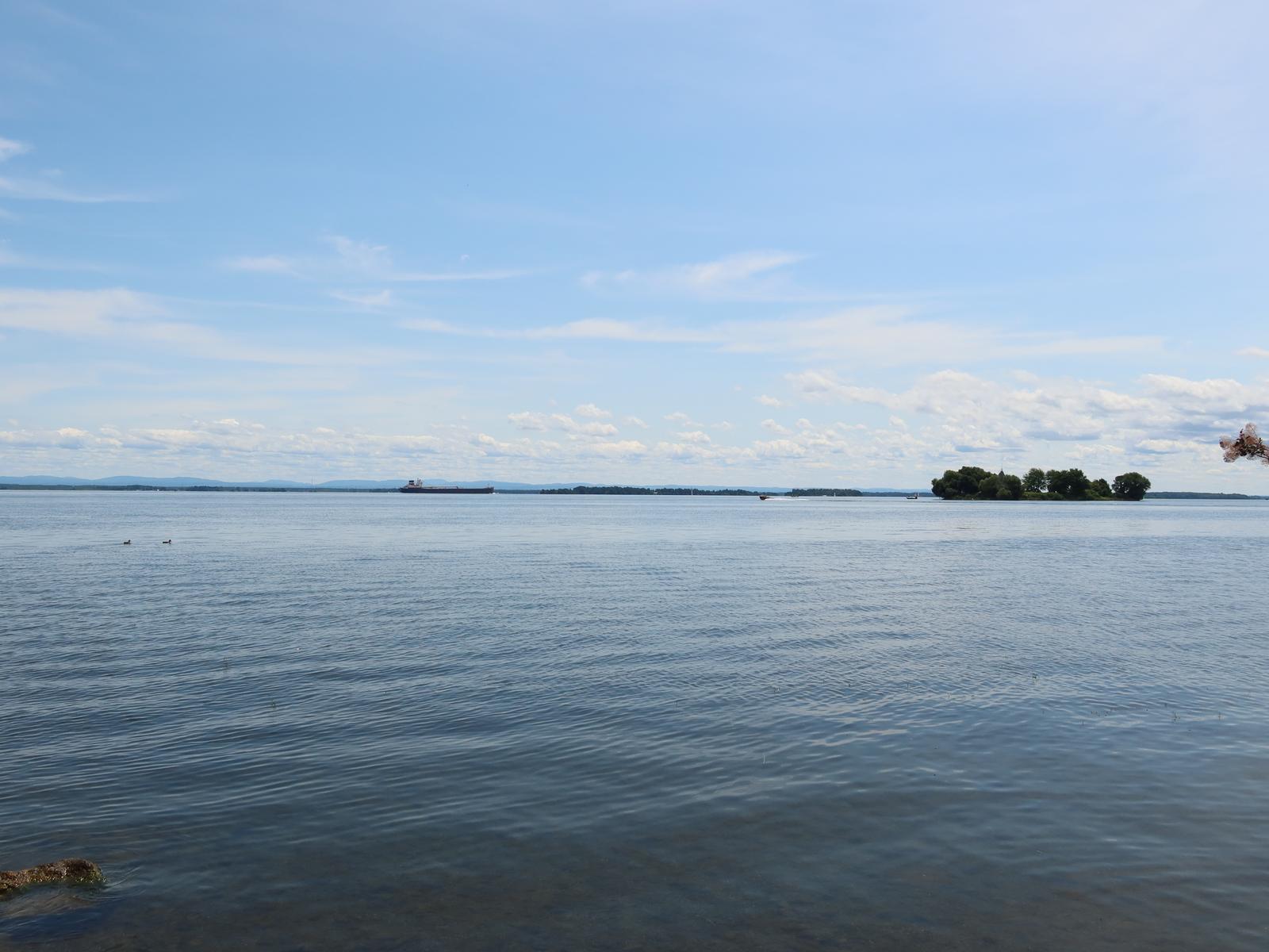
A beautiful view of the magnificant St-Laurence River.
GPS: 45.128242, -74.488251, 401 exit Lancaster/Alexandria
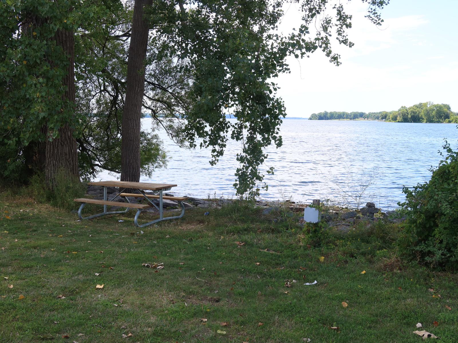
Tables and benches
Free parking
Access to the St-Laurence River, swimming possible
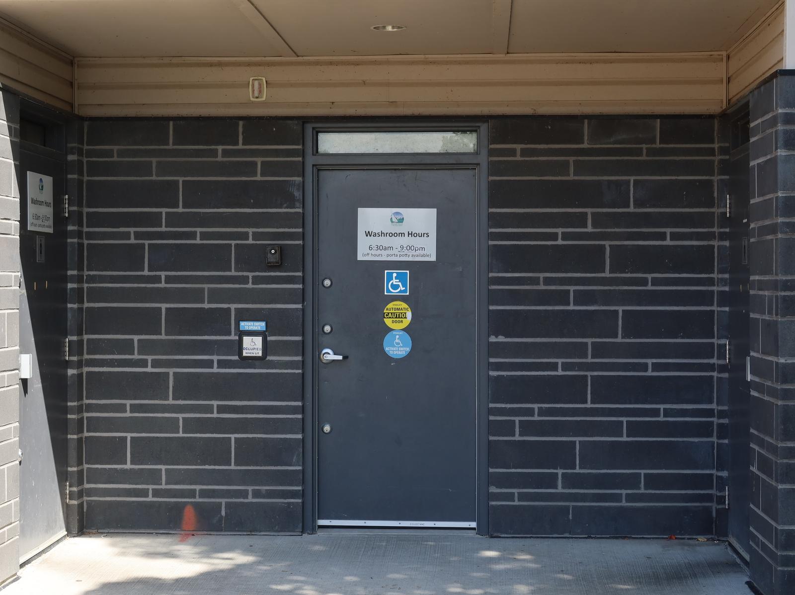
The town provides a portable toilet
Two gas stations in Lancaster near the HWY
Restaurants in Lancaster (in the north)
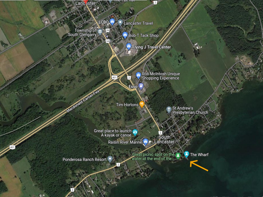
Lancaster South, map
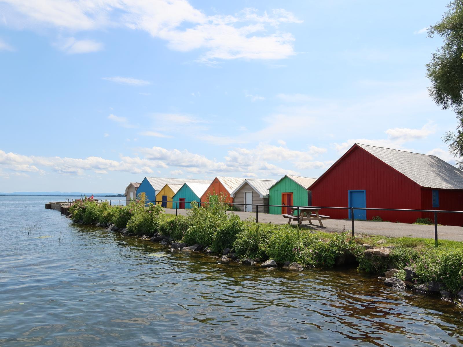
View of the Wharf in Lancaster South
View of the St. Laurence River in Lancaster South
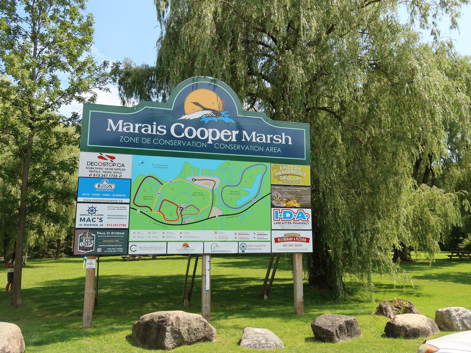
Near Lancaster South: Cooper Marsh
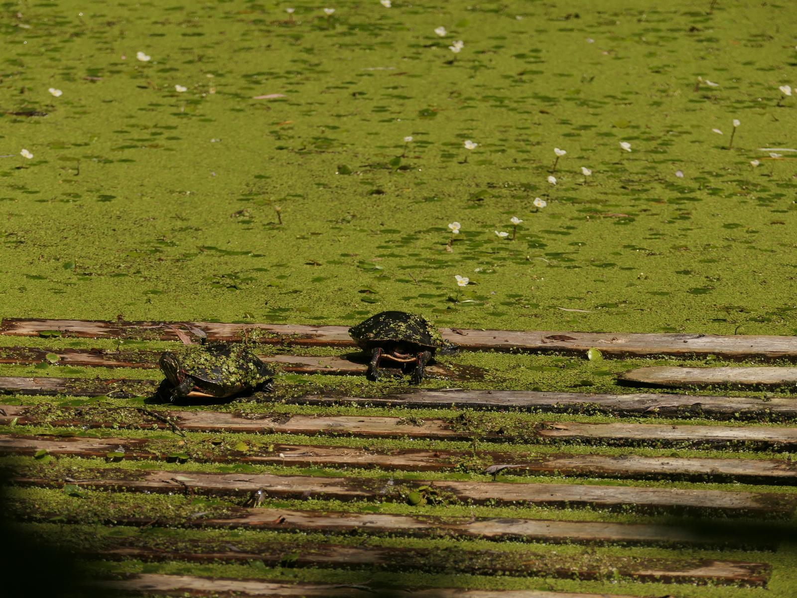
Walking trails and the possibility to observe animals (birds and turtles). One lookout with a view of the St. Laurence River.
GPS: 45.116749, -74.517998, 401 exit Lancaster/Alexandria
Tables and benches
Free parking
One lookout with a view of the St-Laurence River
Toilets
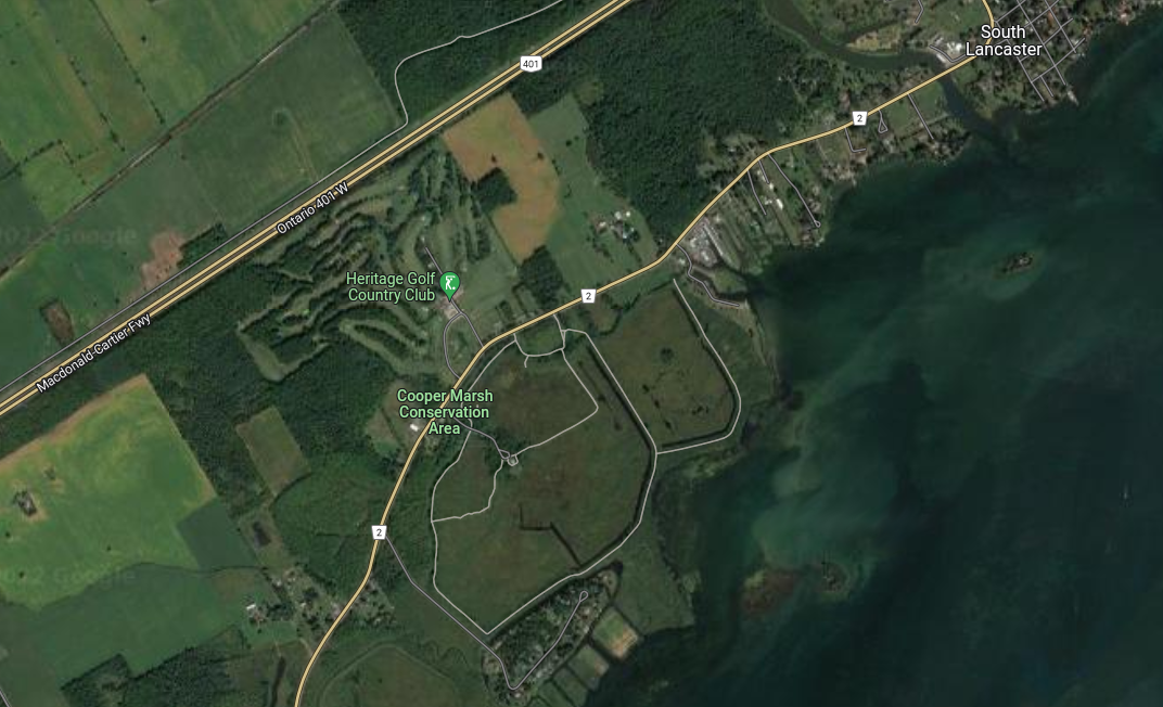
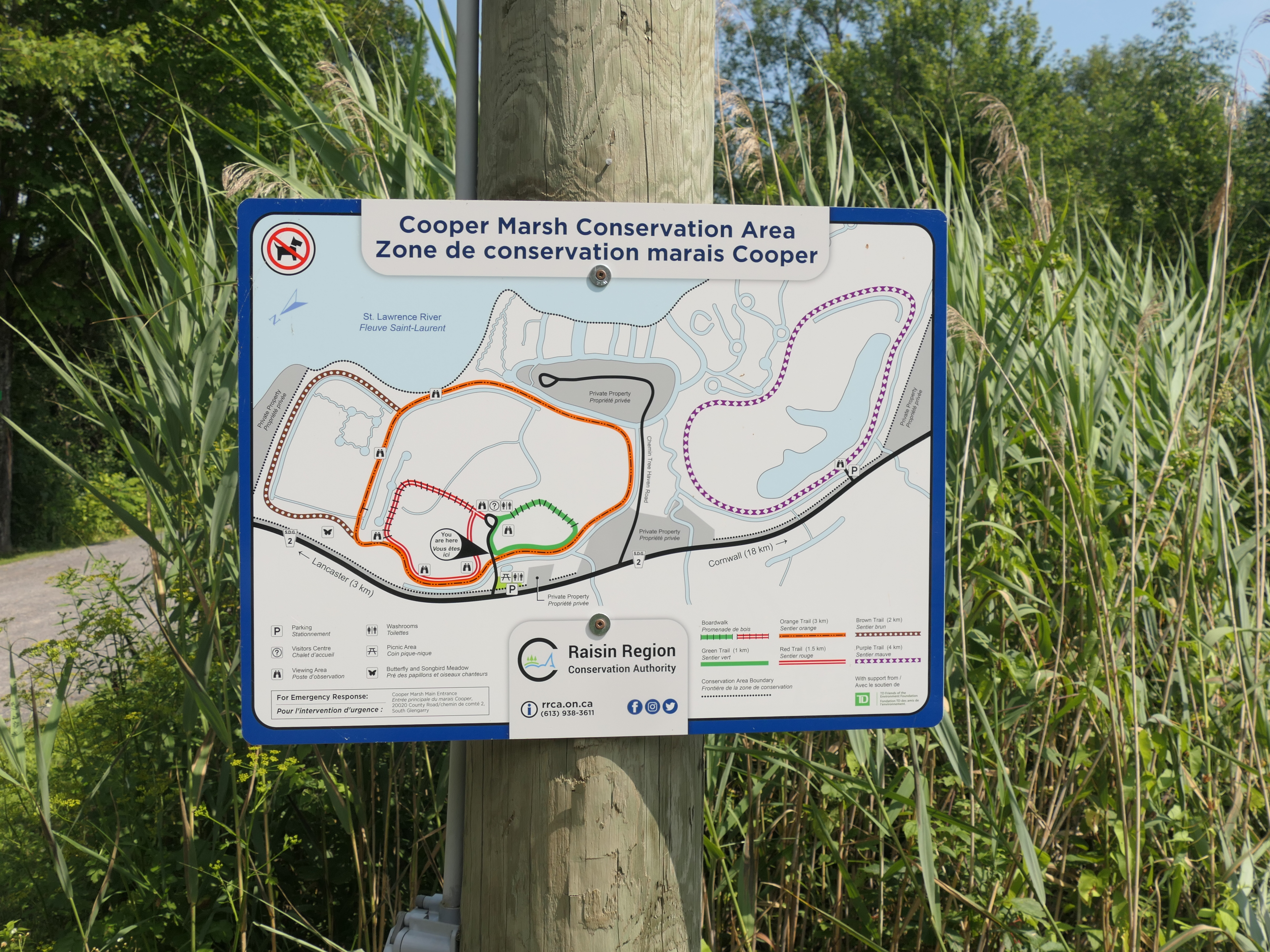
Cooper Marsh, map
Cooper Marsh picnic area and parking lot
Turtles at Cooper Marsh
Cooper Marsh map, click to see more details
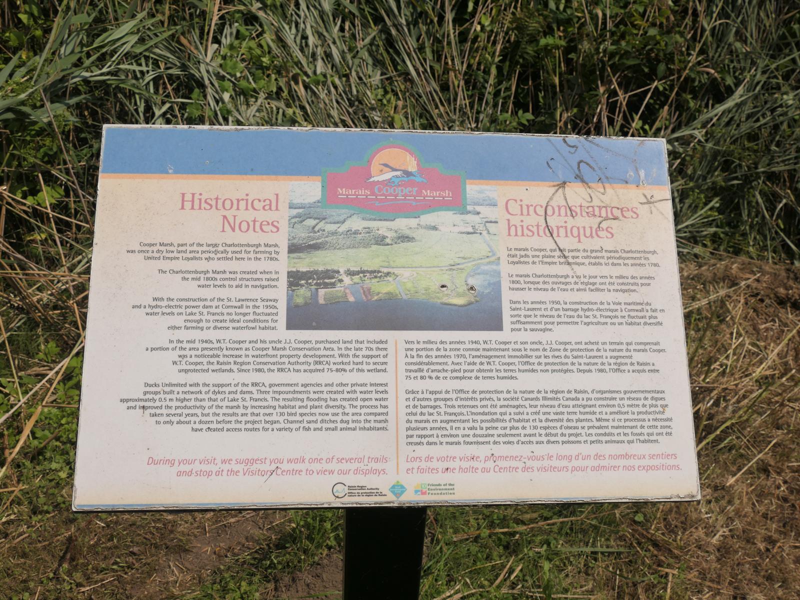
Cooper Marsh history
Cooper Marsh, St Laurence River view
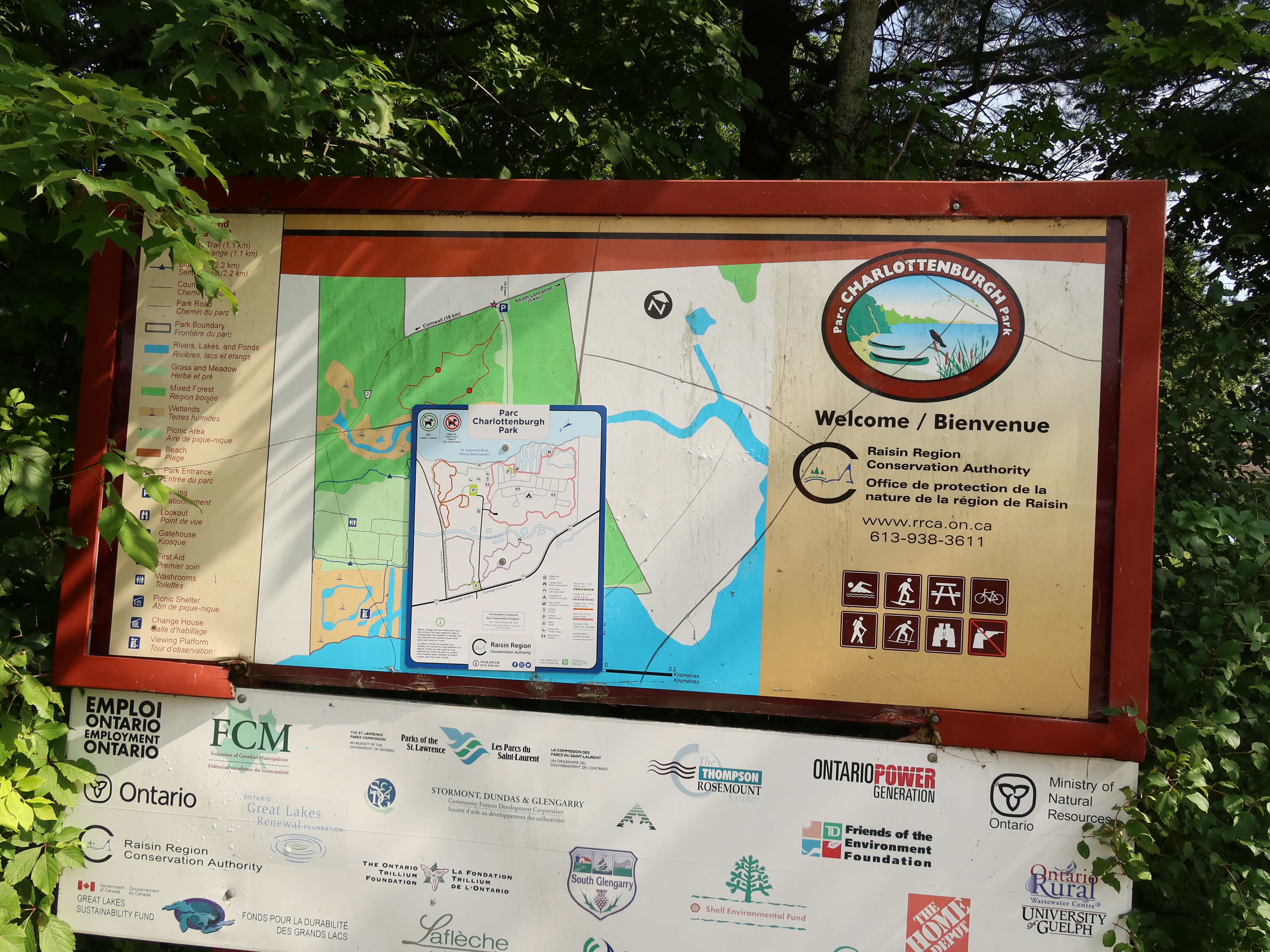
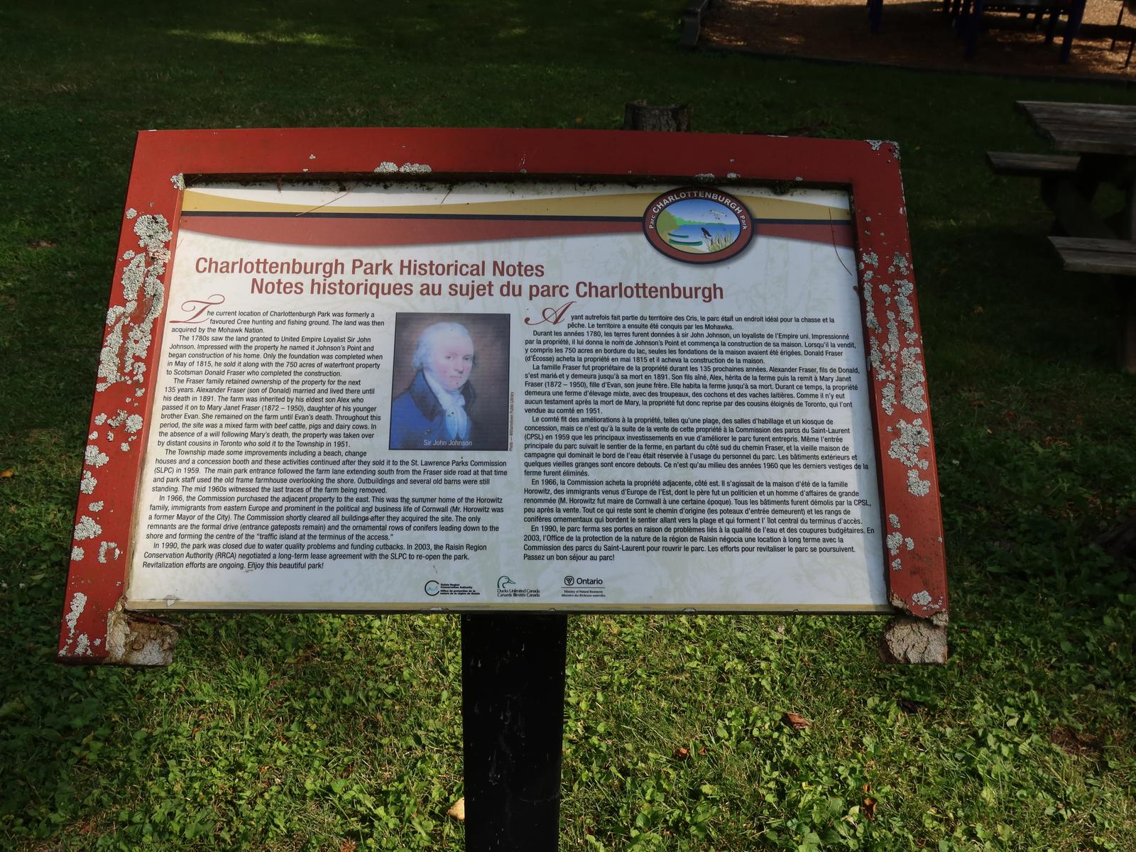
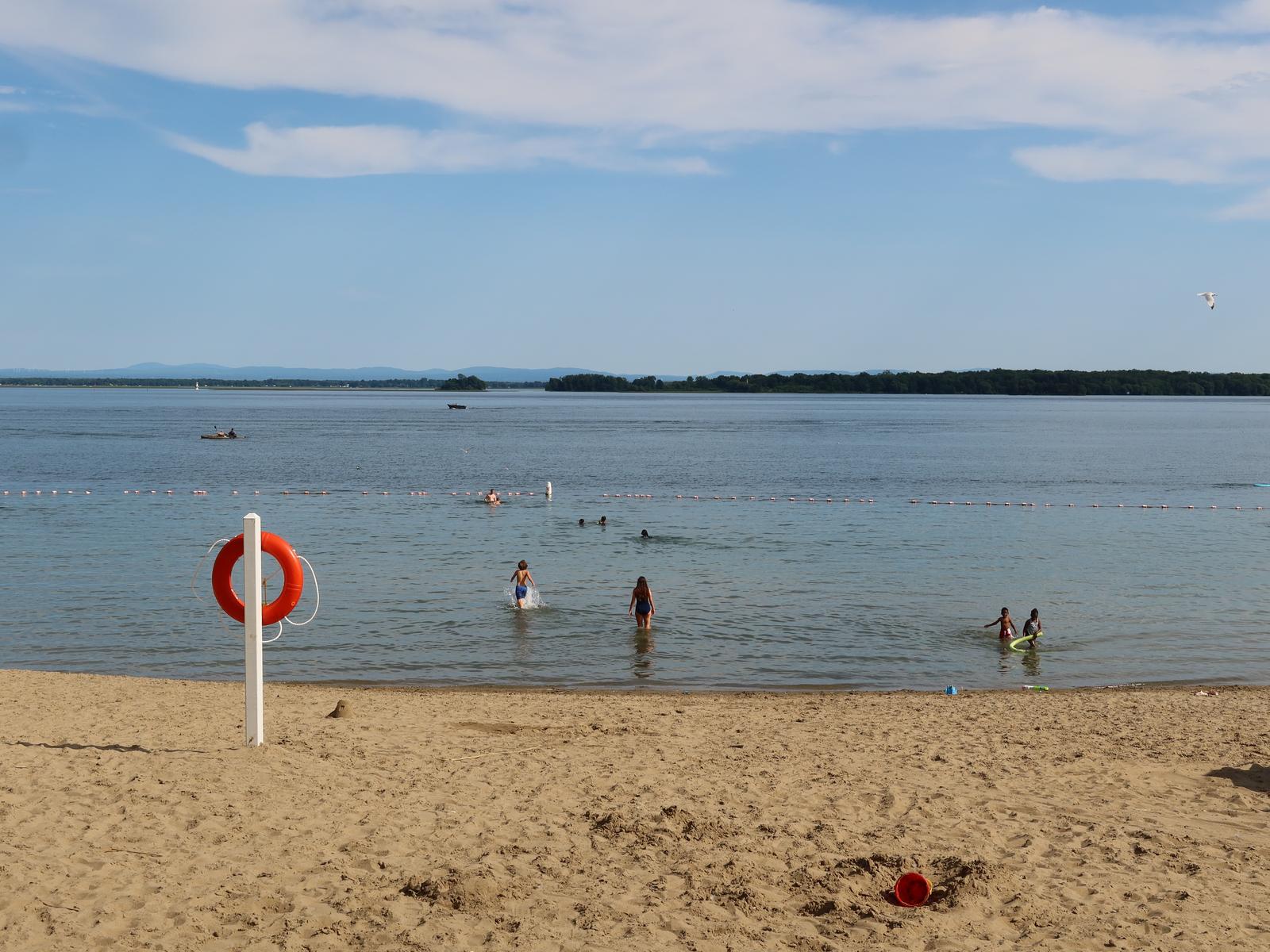
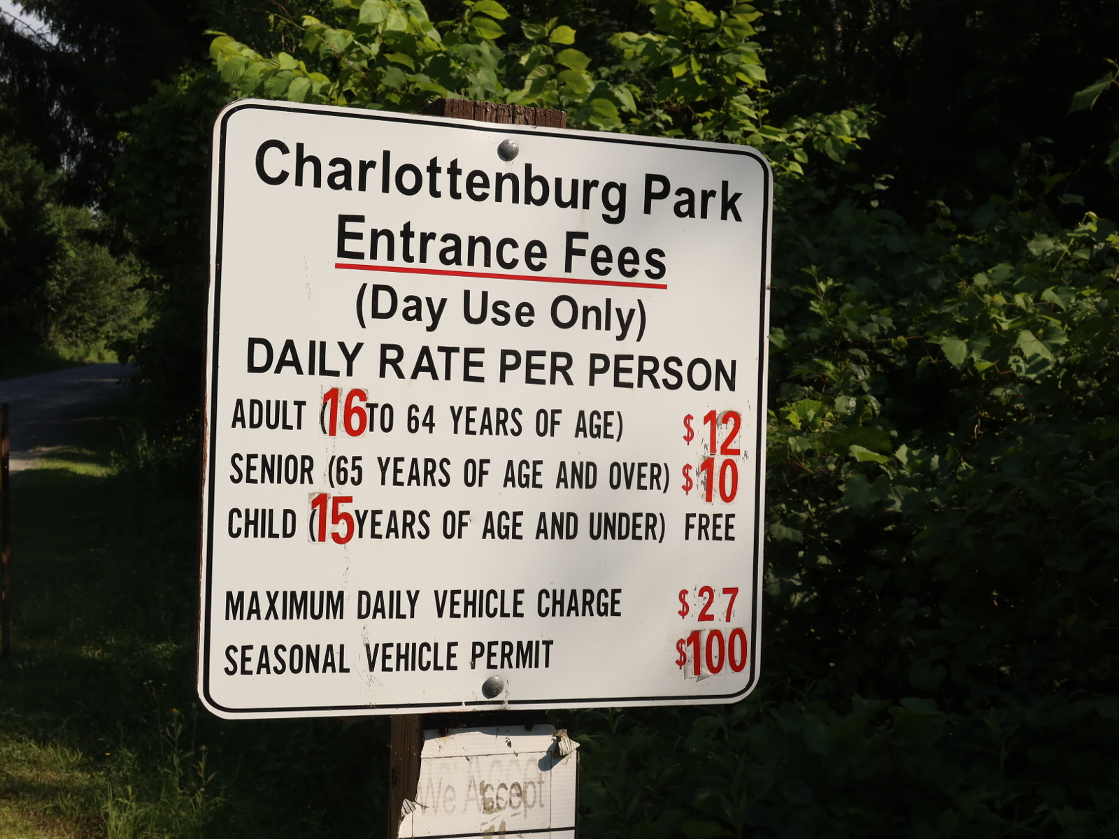
Charlottenburgh Park: sand beach
Nice sandy beach. A bit crowded on hot summer days.
GPS: 45.094112, -74.529080, 401 exit summerstown rd.
Morrisburg has a large waterfront park. It's one of my favorite stops.
GPS: 44.894609, -75.180622, 401 exit Morrisburg
Free parking
Water access
Dock to launch a kayak
Picnic tables
Toilets
Small but beautiful beach for swimming
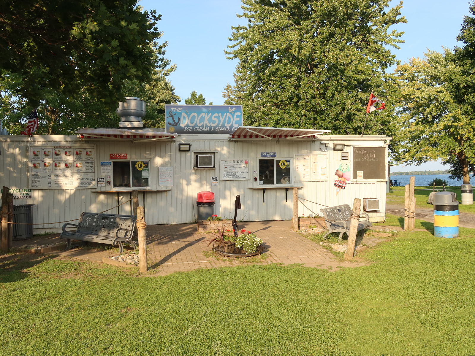
Ice cream store (sells also hot foods like hamburgers)
The historic Morrisburg waterfront looked very different from what you see today. The old locks and the municipal hydroelectric dam are now under water. You can find more information it here: https://morrisburgdivesites.com/lock-23-site-overview/.
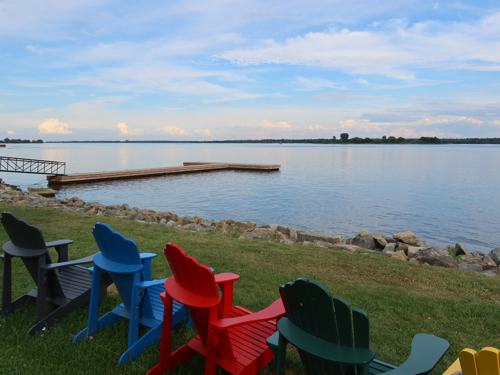
morrisburg chairs by the water
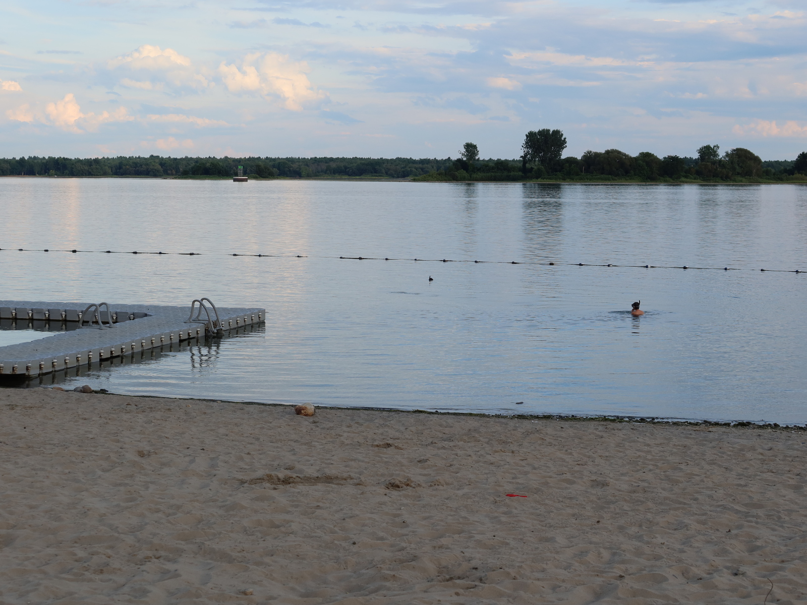
morrisburg swimming at the beach
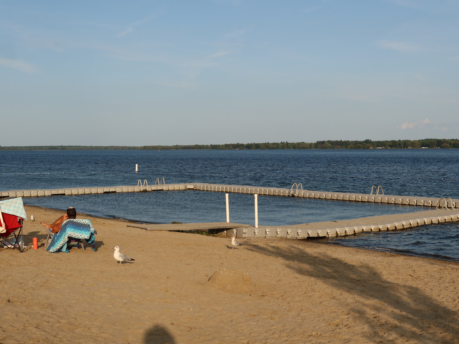
morrisburg beach
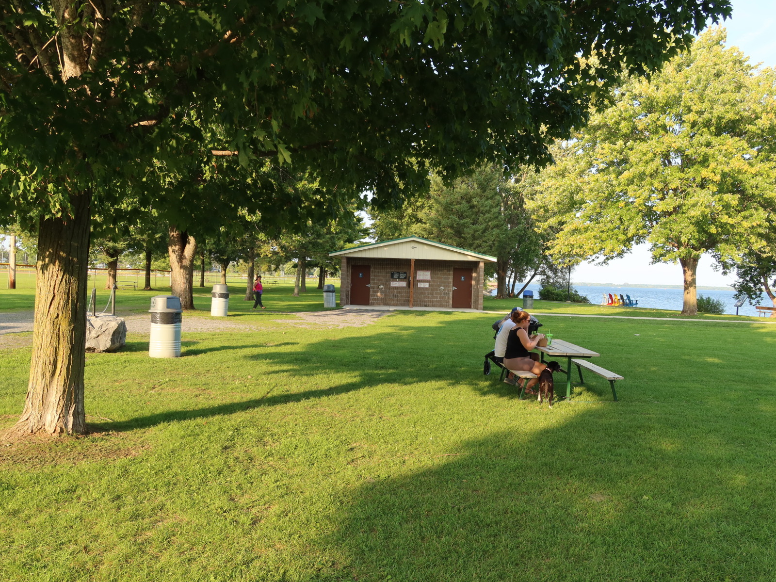
bathrooms
docksyde: Ice cream and hotdogs
Cheap gas stations on the Tyendinaga Mohawk Territory (after kingston when driving towards toronto)
Take 401 exit Marysville and drive to gps postion 44.217017, -77.104169
There are plenty of gas stations on that road.
Belleville
Belleville has a large waterfront park, known as zwick park. It's a little bit besides
the downtown area next to a bridge.
GPS: 44.153331, -77.389732, 401 exit Belleville
Free parking
Water access
Picnic tables
Toilets
Small stores
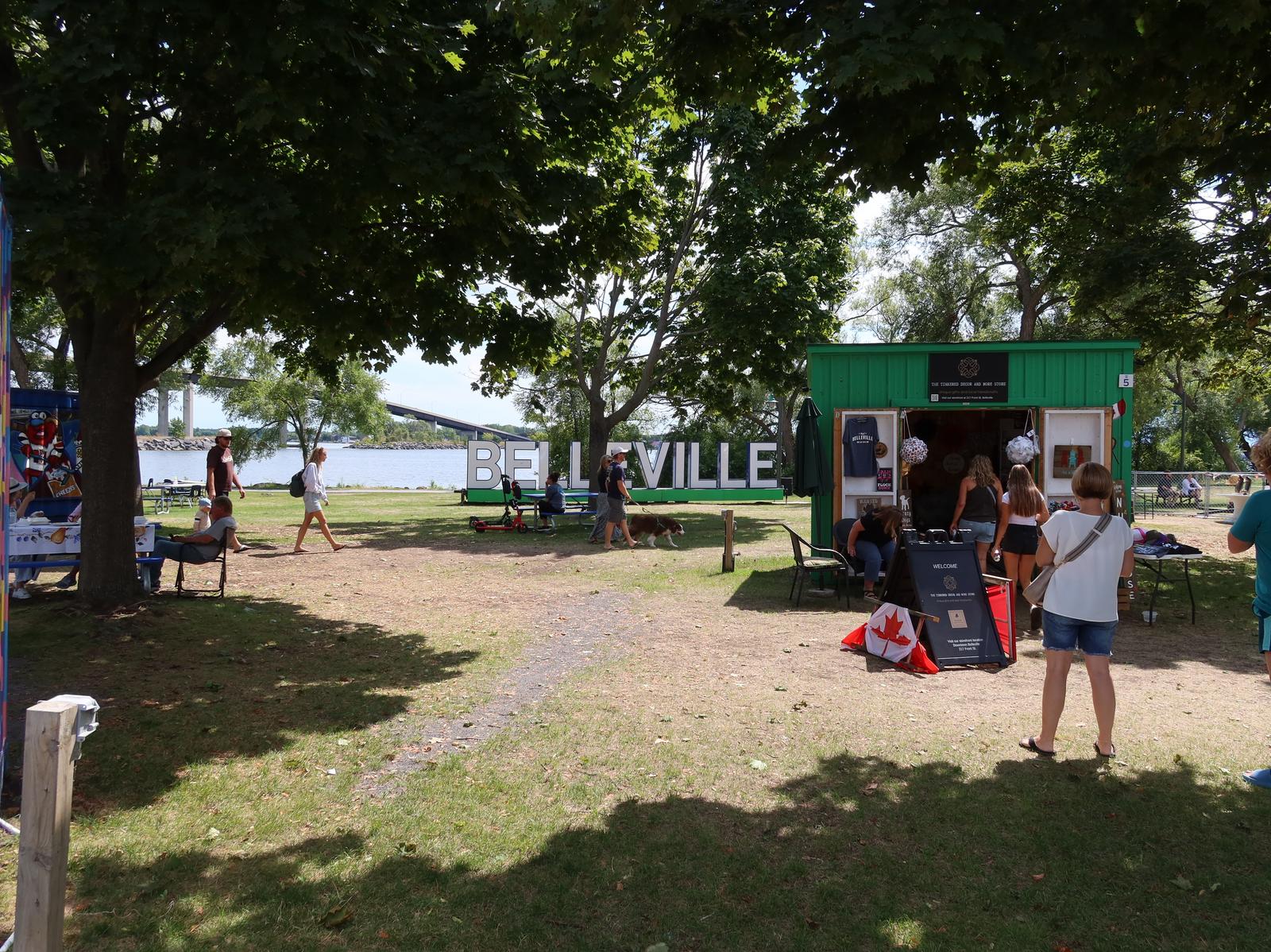
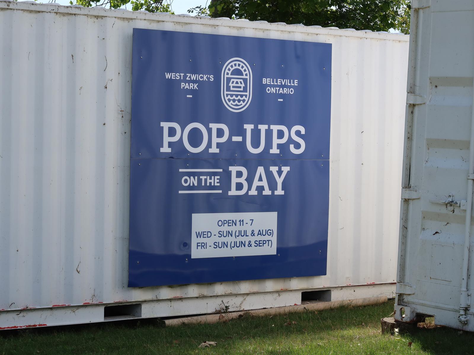
Belleville zwick park, they seem to call these little stores in containers pop-ups
Belleville zwick park pop-ups are open during the summer
Belleville zwick park, water view
Belleville zwick park, washrooms
Cobourg beach and pier
GPS: 43.957805, -78.164868, 401 exit Cobourg
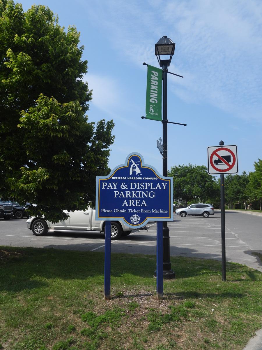
Paid parking
Water access
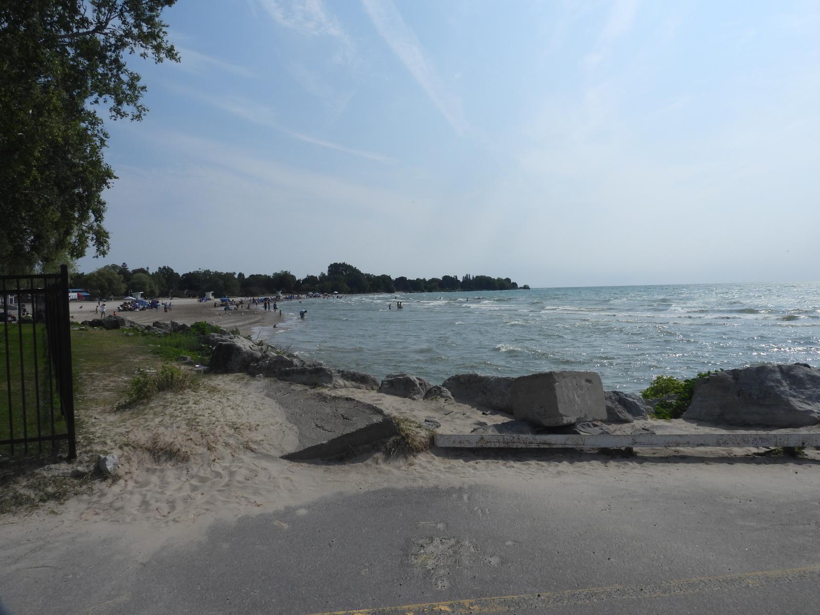
Sandy beach
NO toilets (maybe there are some but I could not find them)
Cobourg has waterfront. You can walk and get some fresh air.
Cobourg parking near the marina
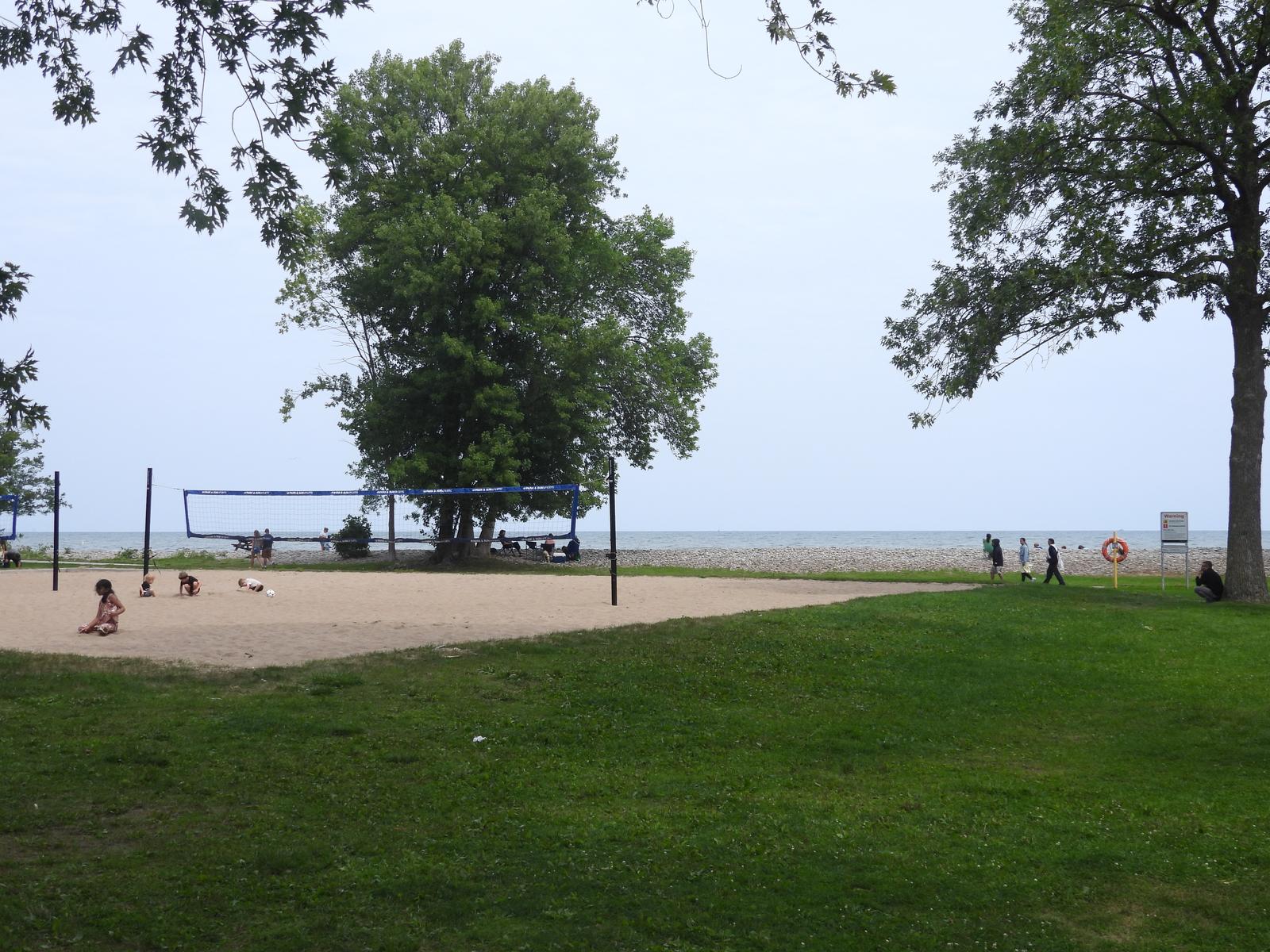
View of Cobourg beach
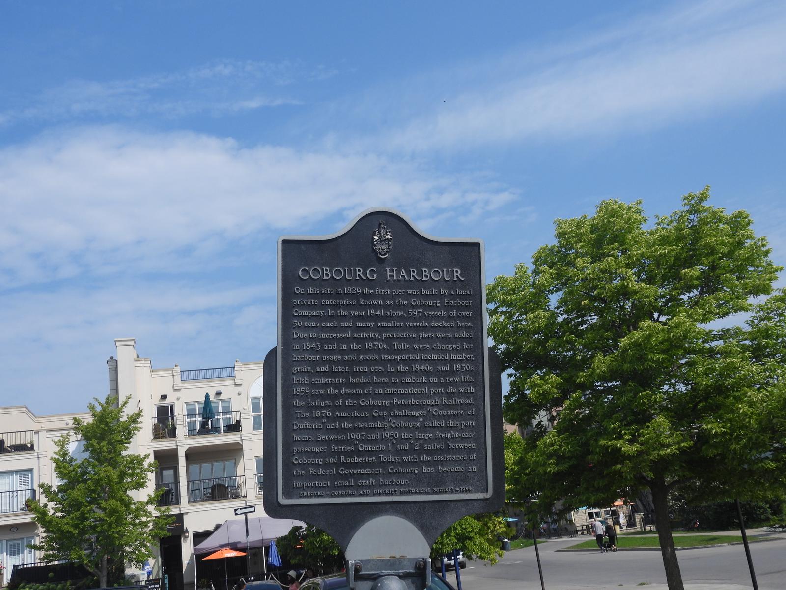
Cobourg harbour sign
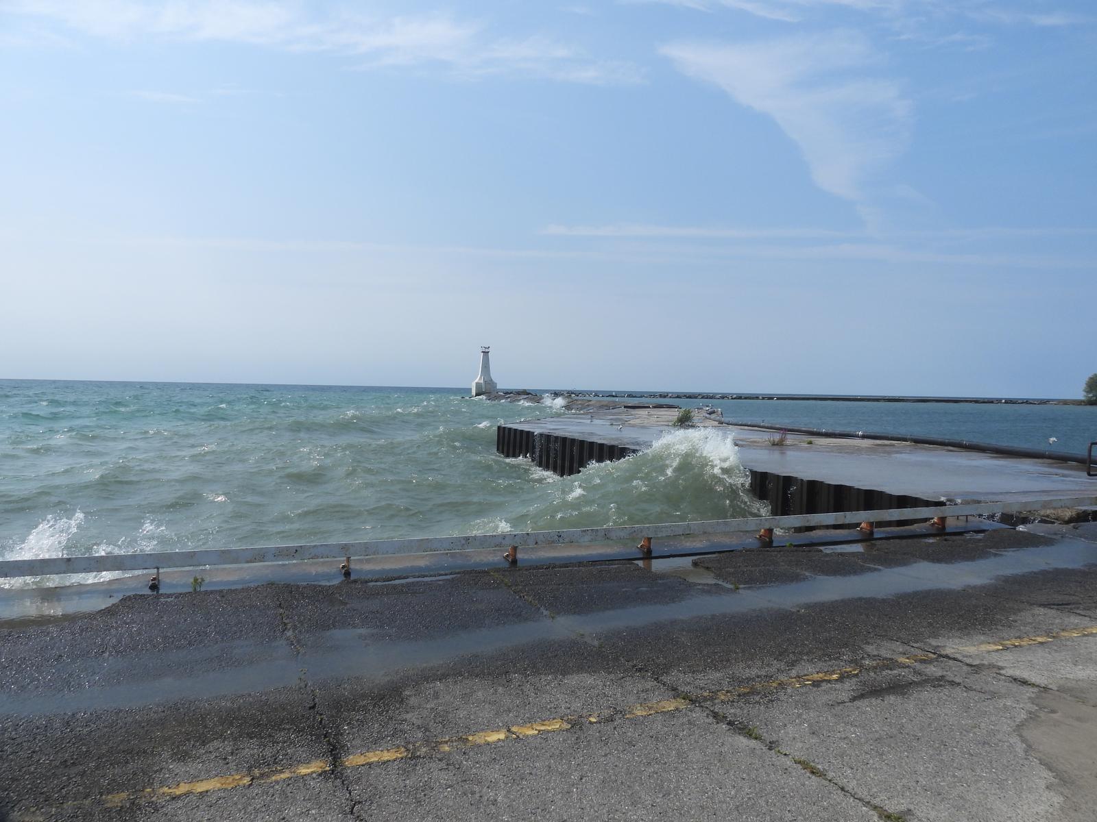
Cobourg east pier
Cobourg is not as contaminated as Port Hope but there is a Cameco nuclear reactor fuel manufacturing
facility in Cobourg (right opposite to the Cobourg Community Centre)
Port Hope is a neighboring city to Cobourg and the main nuclear facility is next to the playground of
Port Hope east beach. The story of radioactive contamination is really interesting and here are some resources to learn about it:

![[401 sign]](401-sign-small.gif)